

Cotswolds Map, South West England
Use this map of the Cotswolds to navigate to local attractions, hotels, and pubs. The Cotswolds cover an area ranging from the Cotswolds Hills to an escarpment called the Cotswold Edge. The Cotswolds were designated as an Area of Outstanding Natural Beauty in 1966 and contain mostly rural landscapes with historic towns, stone-built villages, and stately homes and gardens.

Gloucester is 169 km west of London on the M4 motorway and A40
See Cotswolds listings for Ampney Crucis, the Bell Inn, Bibury, Black Bear Inn, Burton-on-the-Water, Chipping Campden, the Corinium Museum, the Crown of Crucis, Dial House, Elmer the Monk, Golden Cross Inn, Hidcote Manor Garden, Malmesbury Abbey, Parish Church of St John the Baptist, Redesdale Arms, and Snowshill Manor.
View A map of the Cotswolds and South West England in a larger map
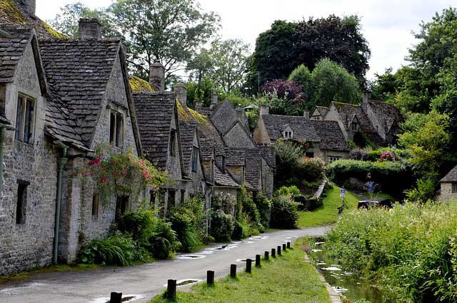
Explore the beauty of one of England’s most pleasant places

The lovely sandstone walls of The Cotswolds
Book a Hotel in London - from 5 stars to budget options
Windsor Castle, Bath and Stonehenge Tours with Stonehenge Tickets from London
Westminster Abbey Tickets & Tours
Tickets For London Attractions - Tiqets.com
© BritainAllOver.com – Guide to the Best of Britain